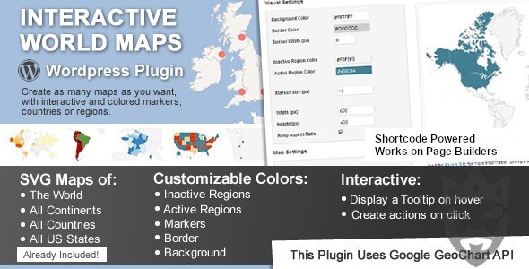
Interactive World Maps
-Very cheap price & Original product!
-We Purchase And Download From Original Authors
-You’ll Receive Untouched And Unmodified Files
-100% Clean Files & Free From Virus
-Unlimited Domain Usage
$2.99
628 in stock
Version: 2.5
Add stunning global visualizations to your website with Interactive World Maps. Explore on Bevaultx for easy integration and dynamic features.
Introduction
Looking to add stunning global visualizations to your website? The Interactive World Maps plugin is here to make it easy and dynamic. Available on CodeCanyon and through platforms like Bevaultx, this plugin allows you to display various types of global data on your WordPress site. Let’s dive into the features and benefits of this fantastic tool.
Engage Visitors with Interactive World Maps
Nothing captures attention like an interactive map. The Interactive World Maps plugin provides you the capability to add detailed and clickable maps for different countries, regions, and continents. The customization options are vast, allowing you to make your maps as informative and engaging as you need.
- Display static or dynamic maps
- Highlight regions with custom colors
- Add tooltips and clickable actions
- Easily integrate via shortcodes
Ease of Use and Customization
One of the most significant benefits of the Interactive World Maps plugin is its ease of use. Whether you are a seasoned WordPress developer or a newbie, you’ll find it intuitive to set up and modify. Plus, with access to over 500 maps, you’re sure to find one that suits your needs.
Platforms like Bevaultx provide easy access to such plugins, making it simpler than ever to enhance your website’s functionality.
Perfect for Various Uses
From travel blogs to global businesses, the uses for Interactive World Maps are limitless. It can beautifully showcase your latest travel destinations, highlight customer distribution around the globe, or even illustrate statistical data region by region.
Some practical tips:
- Use color coding to differentiate regions
- Incorporate real-time data for updating information
- Utilize markers and tooltips for additional details
Official Website Link
Unlimited use: You can use the files on unlimited domains, thanks to GNU GPL.
Latest version available: Unlike most other sites, we update the items almost every hour. This item that you’re seeing is of the latest version.
Clean files: We’re super transparent about file source. We either provide original files that are downloaded from the developer or, wherever necessary, that are securely modified without injected virus, backdoor or trojan.
Unrestricted updates:Purchased product websites can be updated with new versions for free in the order without any time limit.


